Burundi’s Central Highlands: Mistakes to Avoid
Avoid common mistakes at Burundi’s Central Highlands, from unrealistic timing and poor access planning to photography, safety and cultural errors.
Begin with the place, not the checklist.
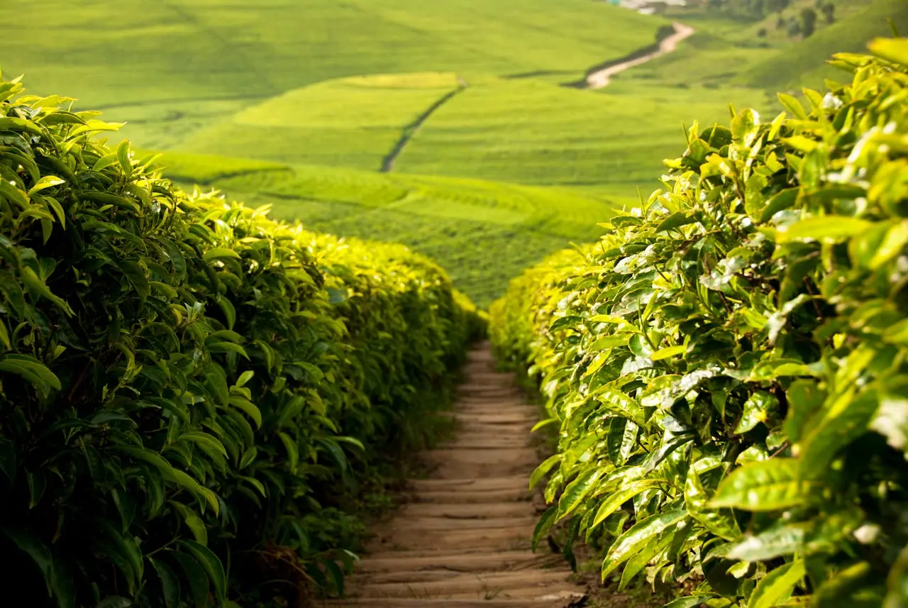
The central highlands connect Bujumbura with Gitega through climbing roads, cultivated ridges, cooler air and far-reaching views.
Many visitors cross the highlands without treating them as a destination. Yet the change in elevation, agriculture and settlement explains much about Burundi’s geography and daily life.
Most disappointing visits fail for ordinary reasons: no confirmation, too many stops, weak context, unsuitable shoes or a camera used before a greeting.
A strong visit to Burundi’s Central Highlands is measured by context, attention and respect—not by how quickly the headline attraction can be photographed.
Build a realistic route.
The main east–west road provides the clearest introduction, with possible extensions toward tea country, communities and central towns. Stops should be made safely and with local awareness.
Do not assume online opening information is current, do not plan from distance alone and do not leave essential transport or guiding until arrival.
Burundi’s compact map can disguise slow roads, elevation changes and worthwhile stops. Discuss the complete day with a driver or guide, protect daylight for the return and avoid placing a flight or fixed appointment immediately after a remote journey.
What to notice and do.
Watch the landscape change rather than sleeping through the transfer. A viewpoint, market stop or local meal can turn a road day into one of the journey’s most revealing chapters.
Avoid chasing a perfect photograph, demanding guaranteed wildlife or leaving as soon as the headline moment ends. Meaning often arrives after the expected highlight.
Let the guide explain what is visible and what is not. History, ecology, agriculture and community life often overlap here, so the most valuable question is not only “What is this?” but “Why does it matter in Burundi today?”
Four anchors for the visit
- Changing elevation
- Cultivated hills
- Roadside life
- Bujumbura–Gitega route
Travel as a guest.
Roadside farms and homes are private working spaces. Ask before entering land or photographing people, and buy from local sellers without aggressive bargaining.
Never treat people as scenery, enter land without permission or push past conservation rules. Correct mistakes quickly and without defensiveness.
Use locally based expertise where possible, pay clearly agreed fees and carry out everything brought into natural areas. Ask before portraits, homes, work or ceremonies. If access is limited for community, conservation or safety reasons, respect the limit without argument.
A practical checklist.
Do not overpack, but do not omit water, weather protection, suitable shoes, phone power or document backups. Small practical failures can consume the day.
- Confirm access, guide and transport shortly before travel.
- Build road and weather margins into the day.
- Carry water, small cash and offline contact details.
- Match shoes and clothing to terrain and local etiquette.
- Ask before photographing people or sensitive locations.
- Recheck health, insurance and official travel advice.
Useful answers before you go.
How much time should I allow for Burundi’s Central Highlands?
A road day or multi-day route is a useful starting point. Final timing should reflect the road, weather, group pace and whether the visit is combined with another place.
Do I need a local guide for Burundi’s Central Highlands?
A local guide is strongly useful for interpretation, current access and responsible behaviour. For protected areas, community visits, performances and remote routes, guiding may be essential.
What should I confirm before visiting Burundi’s Central Highlands?
Confirm current access, transport, fees, guide arrangements, weather and the return or overnight plan. Entry, roads and operating arrangements can change.
Can Burundi’s Central Highlands be combined with other places?
Yes, but combinations should be based on real road time rather than map distance. Choose one major experience and one complementary stop instead of overloading the day.